
Over the course of my career in geomatics, I’ve watched technology push our field forward in leaps – from hand‑drawn topographic overlays to satellite constellations capable of imaging every corner of the globe daily. Now we stand at the edge of another shift. Google DeepMind’s AlphaEarth Foundations promises a new way to handle the scale and complexity of Earth observation, not by giving us another stack of imagery, but by distilling it into something faster, leaner, and more accessible. For those of us who have spent decades wrangling raw pixels into usable insight, this is a development worth pausing to consider.
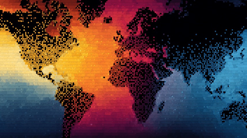
This year’s release of AlphaEarth Foundations marks a major milestone in global-scale geospatial analytics. Developed by Google DeepMind, the model combines multi-source Earth observation data into a 64‑dimensional embedding for every 10 m × 10 m square of the planet’s land surface. It integrates optical and radar imagery, digital elevation models, canopy height, climate reanalyses, gravity data, and even textual metadata into a single, analysis‑ready dataset covering 2017–2024. The result is a tool that allows researchers and decision‑makers to map, classify, and detect change at continental and global scales without building heavy, bespoke image‑processing pipelines.
The strategic value proposition of AlphaEarth rests on three pillars: speed, accuracy, and accessibility. Benchmarking against comparable embedding models shows about a 23–24% boost in classification accuracy. This comes alongside a claimed 16× improvement in processing efficiency – meaning tasks that once consumed days of compute can now be completed in hours. And because the dataset is hosted directly in Google Earth Engine, it inherits an established ecosystem of workflows, tutorials, and a user community that already spans NGOs, research institutions, and government agencies worldwide.
From a geomatics strategy perspective, this efficiency translates directly into reach. Environmental monitoring agencies can scan entire nations for deforestation or urban growth without spending weeks on cloud masking, seasonal compositing, and spectral index calculation. Humanitarian organizations can identify potential disaster‑impact areas without maintaining their own raw‑imagery archives. Climate researchers can explore multi‑year trends in vegetation cover, wetland extent, or snowpack with minimal setup time. It is a classic case of lowering the entry barrier for high‑quality spatial analysis.
But the real strategic leverage comes from integration into broader workflows. AlphaEarth is not a replacement for fine‑resolution imagery, nor is it meant to be. It is a mid‑tier, broad‑area situational awareness layer. At the bottom of the stack, Sentinel‑2, Landsat, and radar missions continue to provide open, raw data for those who need pixel‑level spectral control. At the top, commercial sub‑meter satellites and airborne surveys still dominate tactical decision‑making where object‑level identification matters. AlphaEarth occupies the middle: fast enough to be deployed often, accurate enough for policy‑relevant mapping, and broad enough to be applied globally.
This middle layer is critical in national‑scale and thematic mapping. It enables ministries to maintain current, consistent land‑cover datasets without the complexity of traditional workflows. For large conservation projects, it provides a harmonized baseline for ecosystem classification, habitat connectivity modelling, and impact assessment. In climate‑change adaptation planning, AlphaEarth offers the temporal depth to see where change is accelerating and where interventions are most urgent.
The public release is also a democratizing force. By making the embeddings openly available in Earth Engine, Google has effectively provided a shared global resource that is as accessible to a planner in Nairobi as to a GIS analyst in Ottawa. In principle, this levels the playing field between well‑funded national programs and under‑resourced local agencies. The caveat is that this accessibility depends entirely on Google’s continued support for the dataset. In mission‑critical domains, no analyst will rely solely on a corporate‑hosted service; independent capability remains essential.
Strategically, AlphaEarth’s strength is in guidance and prioritization. In intelligence contexts, it is the layer that tells you where to look harder — not the layer that gives you the final answer. In resource management, it tells you where land‑cover change is accelerating, not exactly what is happening on the ground. This distinction matters. For decision‑makers, AlphaEarth can dramatically shorten the cycle between question and insight. For field teams, it can focus scarce collection assets where they will have the greatest impact.
It also has an important capacity‑building role. By exposing more users to embedding‑based analysis in a familiar platform, it will accelerate the adoption of machine‑learning approaches in geospatial work. Analysts who start with AlphaEarth will be better prepared to work with other learned representations, multimodal fusion models, and even custom‑trained embeddings tailored to specific regions or domains.
The limitations – 10 m spatial resolution, annual temporal resolution, and opaque high‑dimensional features – are real, but they are also predictable. Any experienced geomatics professional will know where the model’s utility ends and when to switch to finer‑resolution or more temporally agile sources. In practice, the constraints make AlphaEarth a poor choice for parcel‑level cadastral mapping, tactical ISR targeting, or rapid disaster damage assessment. But they do not diminish its value in continental‑scale environmental intelligence, thematic mapping, or strategic planning.
In short, AlphaEarth Foundations fills a previously awkward space in the geospatial data hierarchy. It’s broad, fast, accurate, and globally consistent, but not fine enough for micro‑scale decisions. Its strategic role is as an accelerator: turning complex, multi‑source data into actionable regional or national insights with minimal effort. For national mapping agencies, conservation groups, humanitarian planners, and climate analysts, it represents a genuine step change in how quickly and broadly we can see the world.
