
Over Christmas, in the middle of one of those conversations that wander from politics to rent to the sheer exhaustion of trying to live well, one of my kids said something that stopped me cold.
“You boomers don’t really get it,” they said. “Bed bugs are just part of life now.”
I laughed at first, because that is what you do when something sounds exaggerated. Bed bugs, to me, belonged to a different era. Something from old boarding houses, wartime hostels, badly run hotels in novels. Not something you simply absorbed into your mental list of modern inconveniences, like delayed buses or terrible customer service.
But they were serious. Not alarmist, not dramatic. Just factual. Friends had dealt with them. Neighbours had dealt with them. People they knew moved, threw out furniture, slept with their clothes sealed in bags, and then went on with their lives. It was not a story. It was context.
I live in Ottawa. I pay attention to housing. I read the news. And yet this had somehow slid past me. So I did what I usually do when I suspect I am wrong. I went and looked it up.
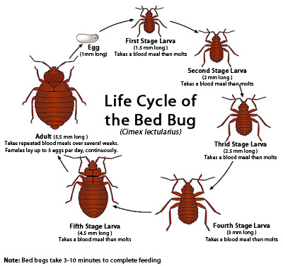
What I learned was uncomfortable, not because bed bugs are especially dangerous, but because they are ordinary now in a way they were not when I was younger. Bed bugs were largely suppressed in North America by the late twentieth century. They never disappeared, but for a long while most people never encountered them. That changed in the early 2000s, and the change stuck.
Public health agencies, pest control data, and municipal reporting all tell the same story. Increased travel, dense urban housing, and widespread resistance to common insecticides have allowed bed bugs to rebound and spread efficiently. They do not care if a place is clean. They do not care about income. They move by hitching rides in luggage, backpacks, furniture, and clothing. Human mobility is their advantage.
Ottawa, it turns out, regularly appears near the top of Canadian city rankings for bed bug treatments. Not because it is uniquely dirty or negligent, but because it is dense, mobile, and full of multi unit housing. Apartments, dorms, shelters, hotels, and condos form a continuous ecosystem. Once bed bugs are established in a building, eradication is slow, expensive, and often incomplete.
What surprised me most was not the prevalence, but the tone of the official advice. Ottawa Public Health does not speak about bed bugs as a rare emergency. It speaks about them as a recurring condition. Something to be managed. Something residents should learn to identify, report, and respond to calmly.
They do not transmit disease. That is the reassurance. But they do transmit stress. Anxiety. Shame. Sleeplessness. Financial strain. Entire households reorganized around plastic bags and heat treatments and waiting.
When you grow up believing a problem has been solved, its return feels like failure. When you grow up with the problem already present, it feels like weather. Something you watch for and plan around, but do not expect to eliminate.
That, I think, is the generational divide my kid was pointing at.
For many people in their twenties, bed bugs are not a crisis story. They are part of the background risk of renting, traveling, and sharing space in a city. You do not panic. You check. You adapt. You hope you are lucky.
I still do not like the idea that this is “just how it is now.” But I understand why they said it. And I understand now that my shock said more about my assumptions than about their reality.
Sometimes the world does not change all at once. Sometimes it just quietly adds another thing you have to live with, and waits to see who notices.
PS I did wash their bedding and clean the rooms as soon as they left.
Sources:
Ottawa Public Health. Bed Bugs.
https://www.ottawapublichealth.ca/en/public-health-topics/bed-bugs.aspx
CityNews Ottawa. Ottawa ranks among Canada’s bed buggiest cities.
https://ottawa.citynews.ca
Health Canada. Bed bugs.
https://www.canada.ca/en/health-canada/services/pest-control-tips/bedbugs.html